


Property Details
Auction Event Details
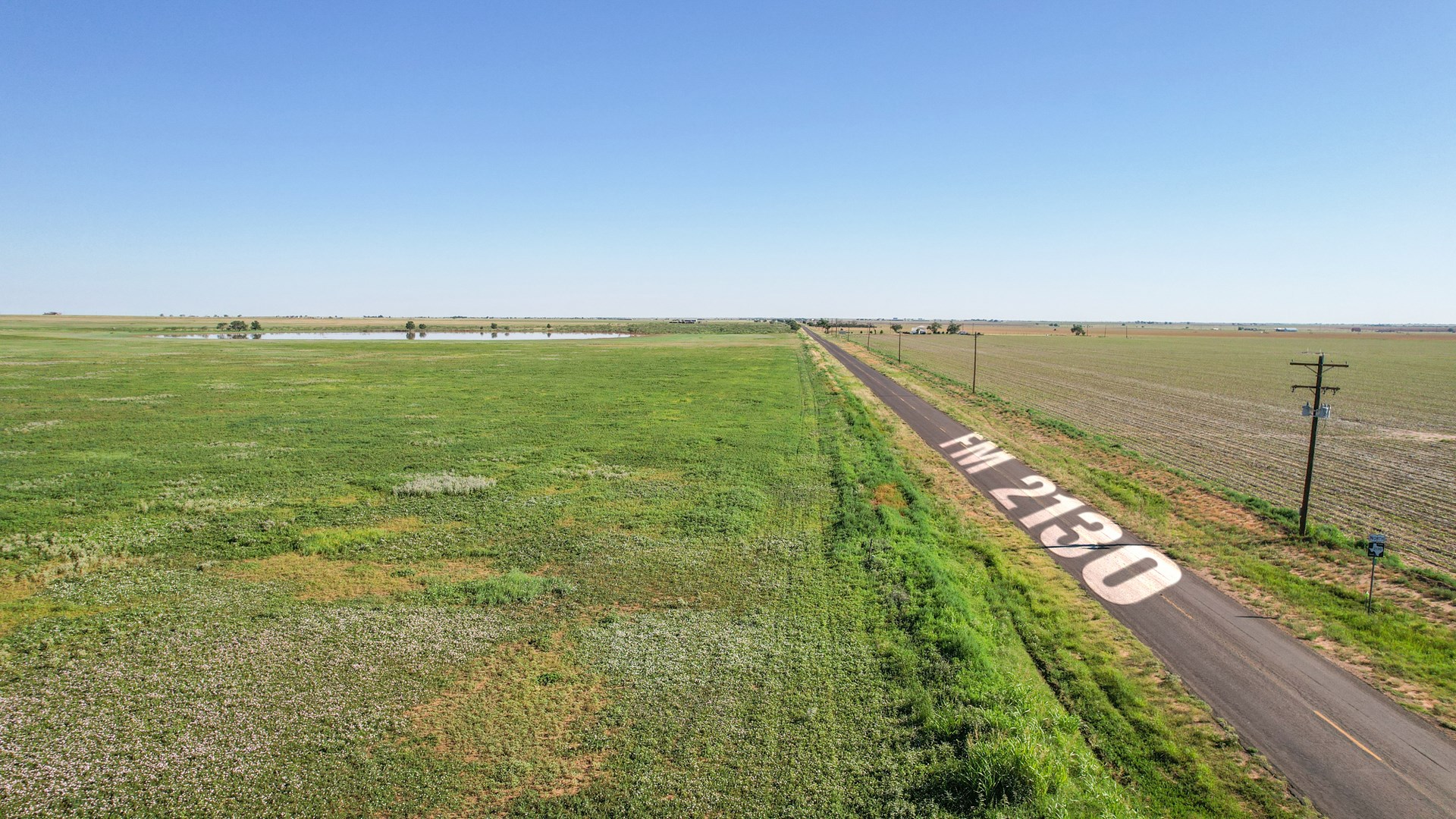
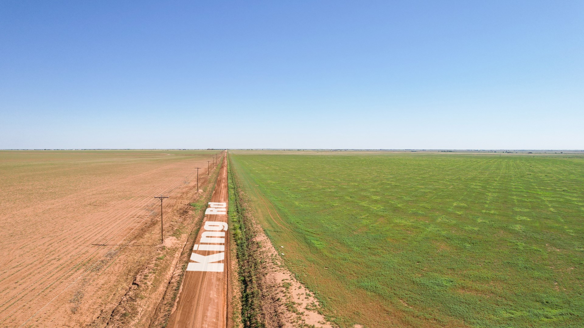
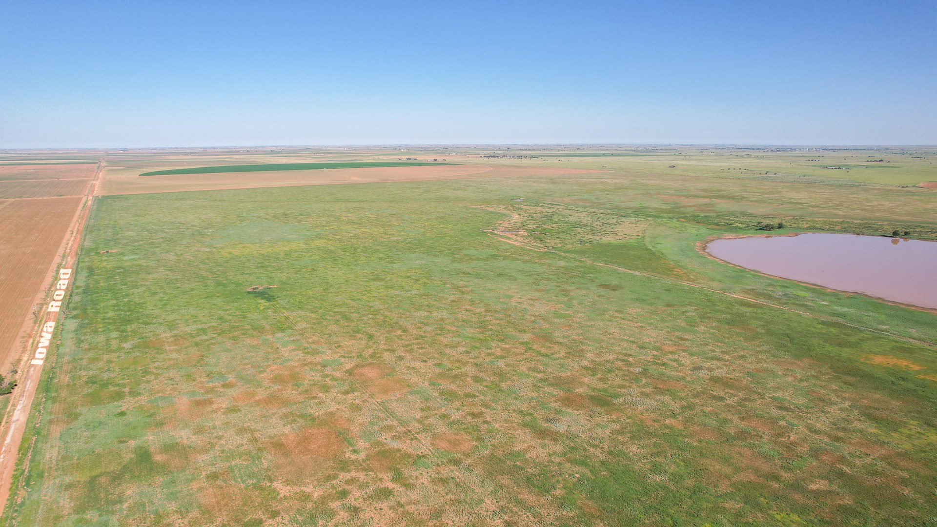
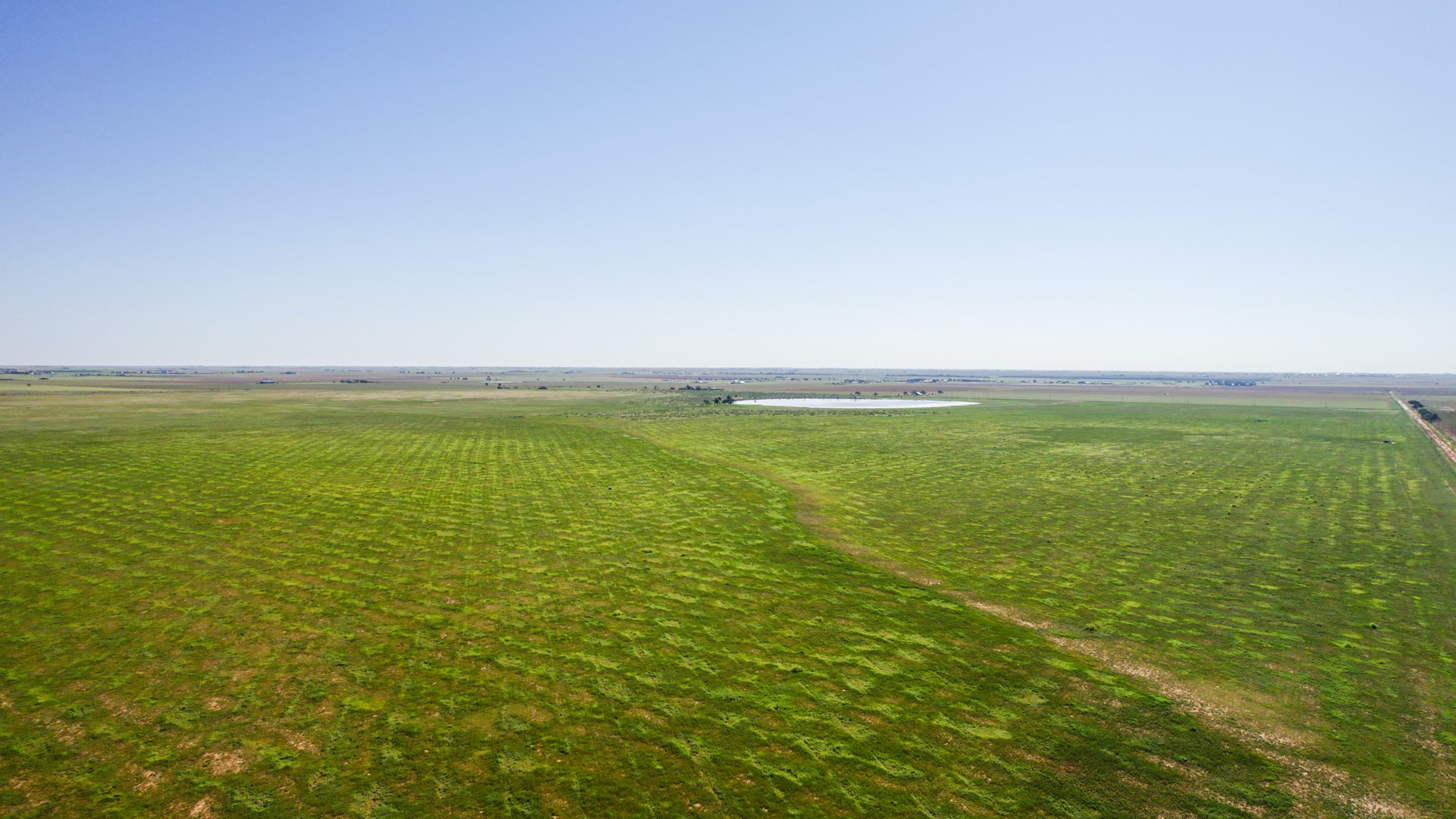
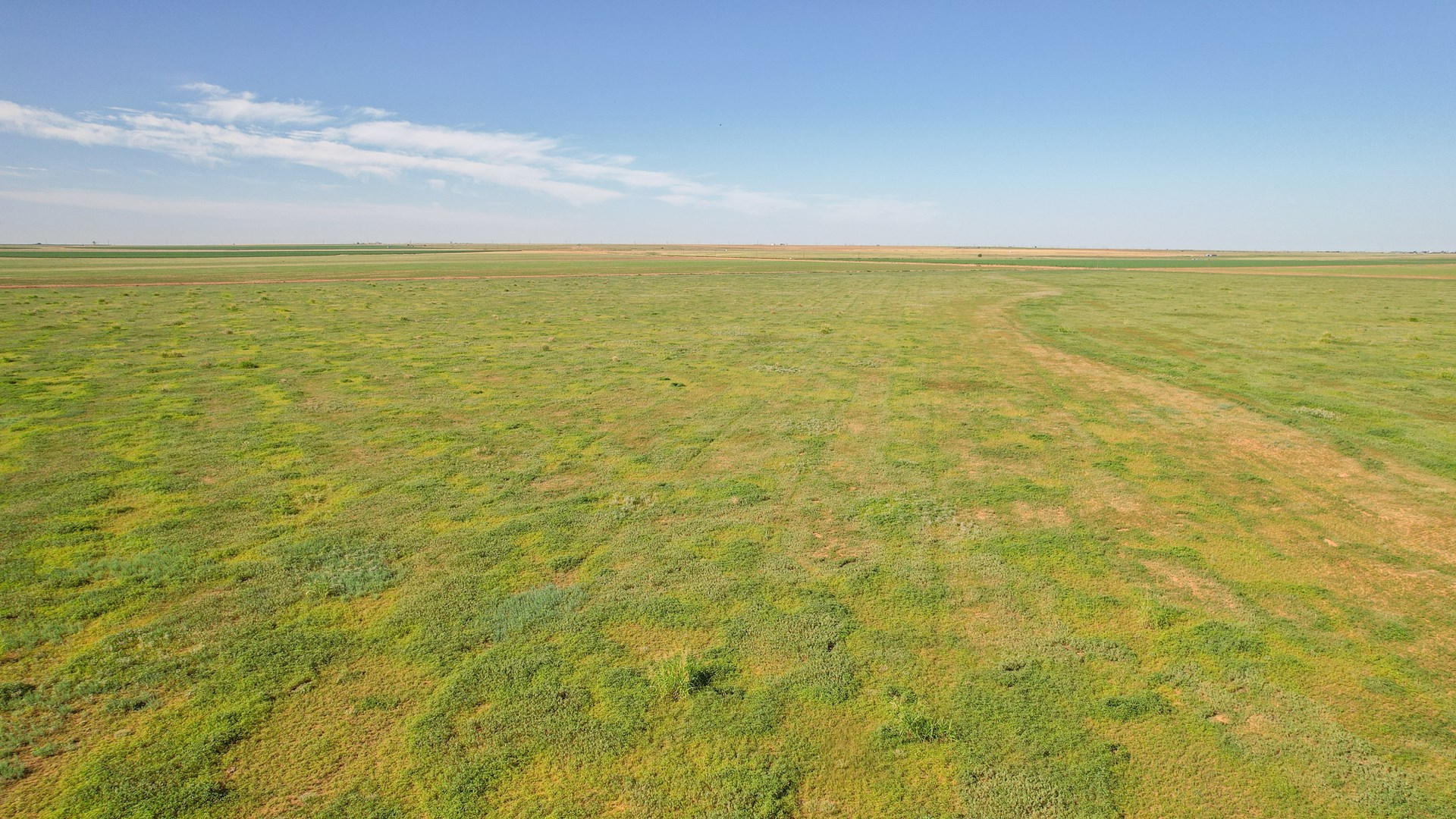
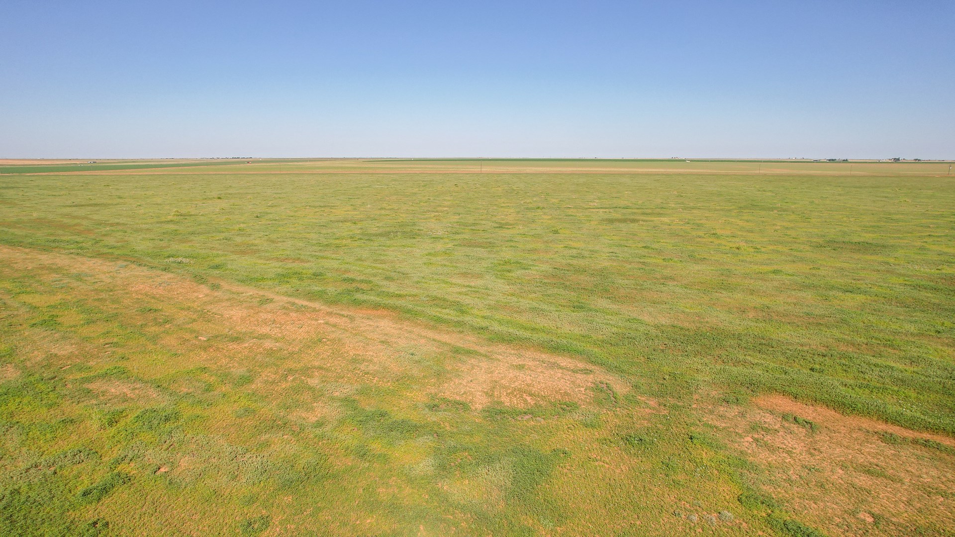
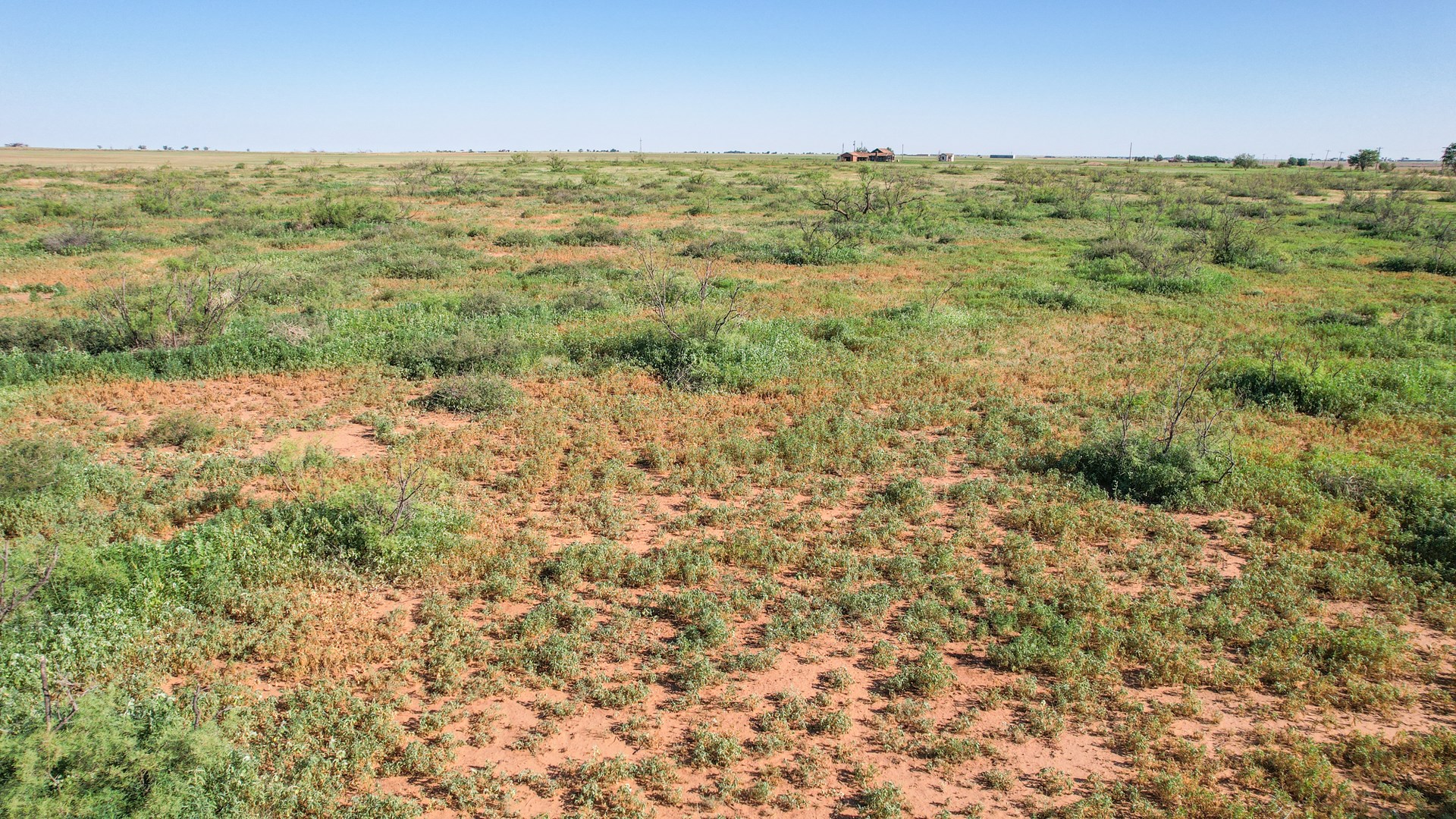
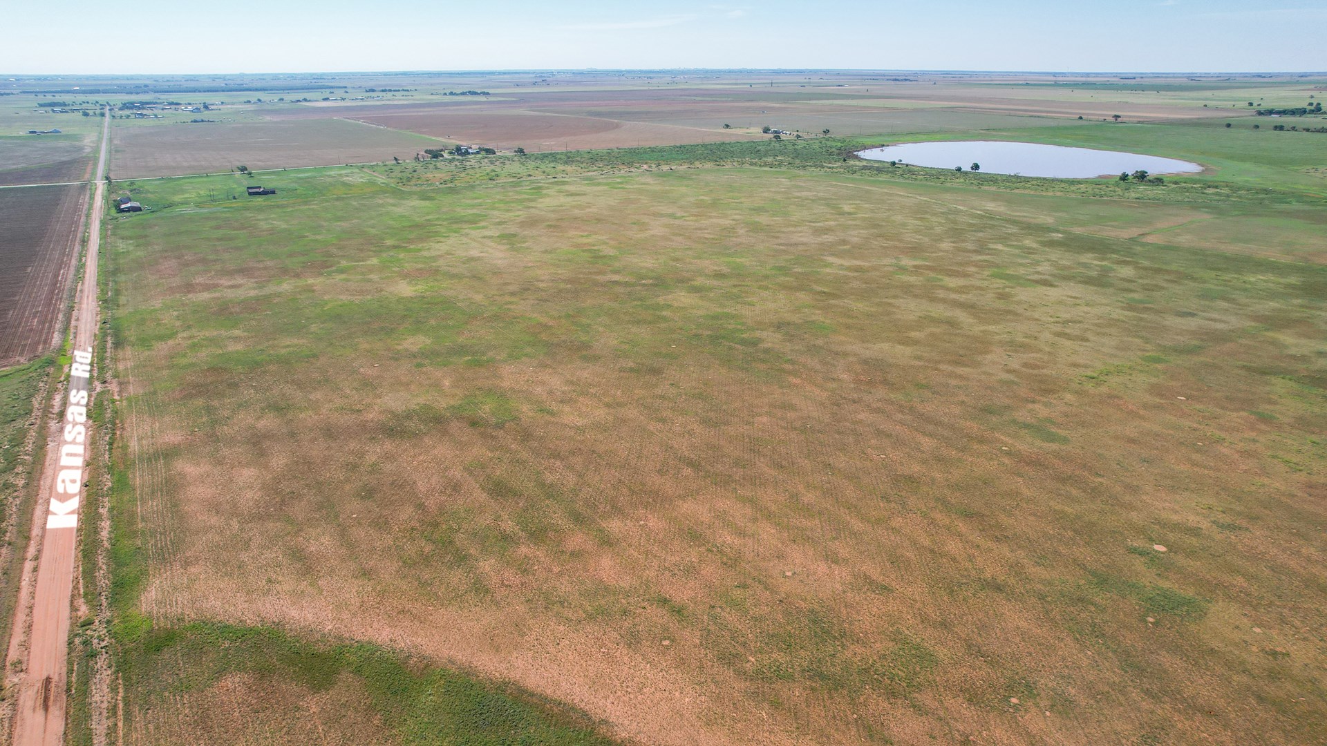
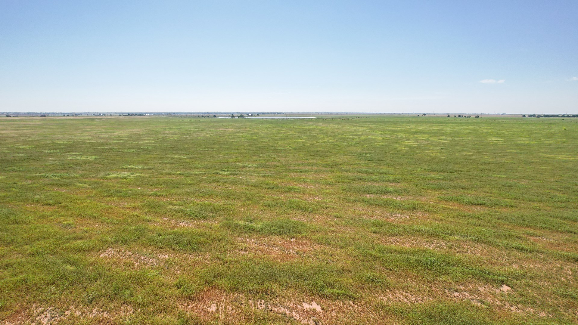
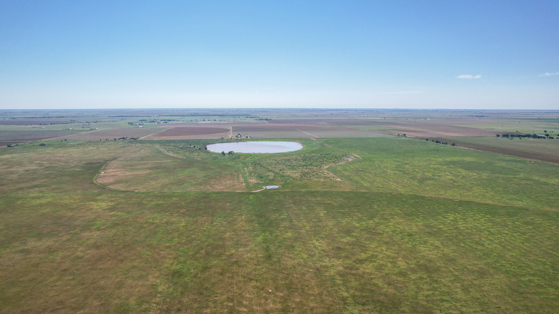
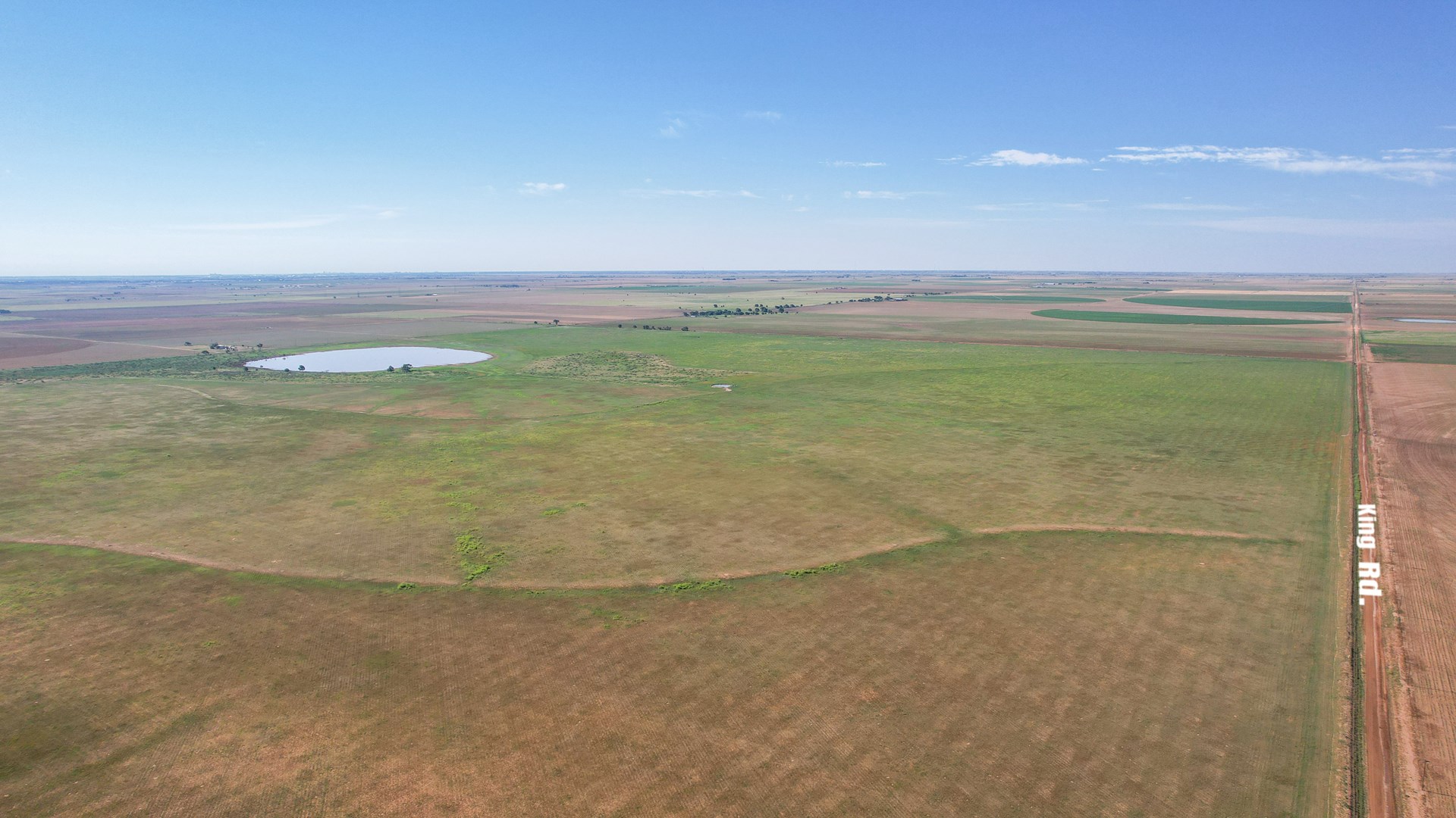
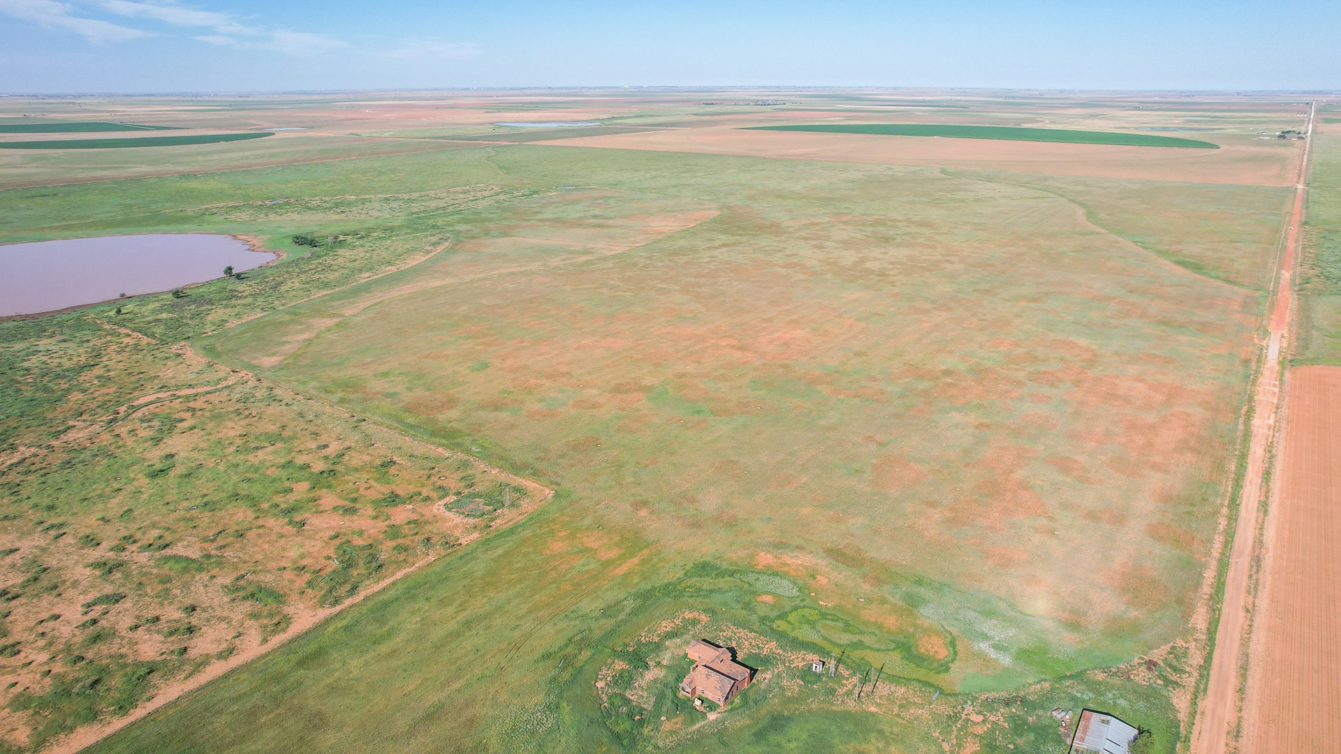
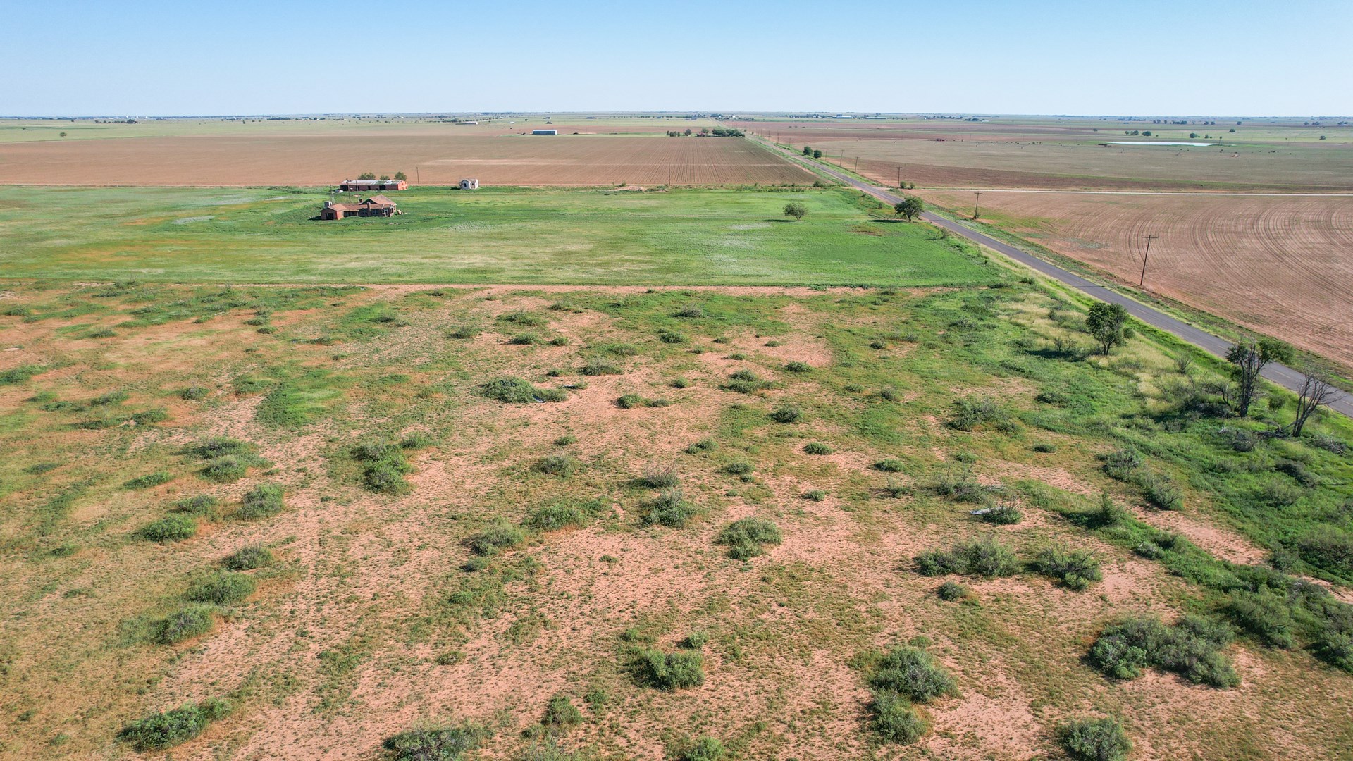
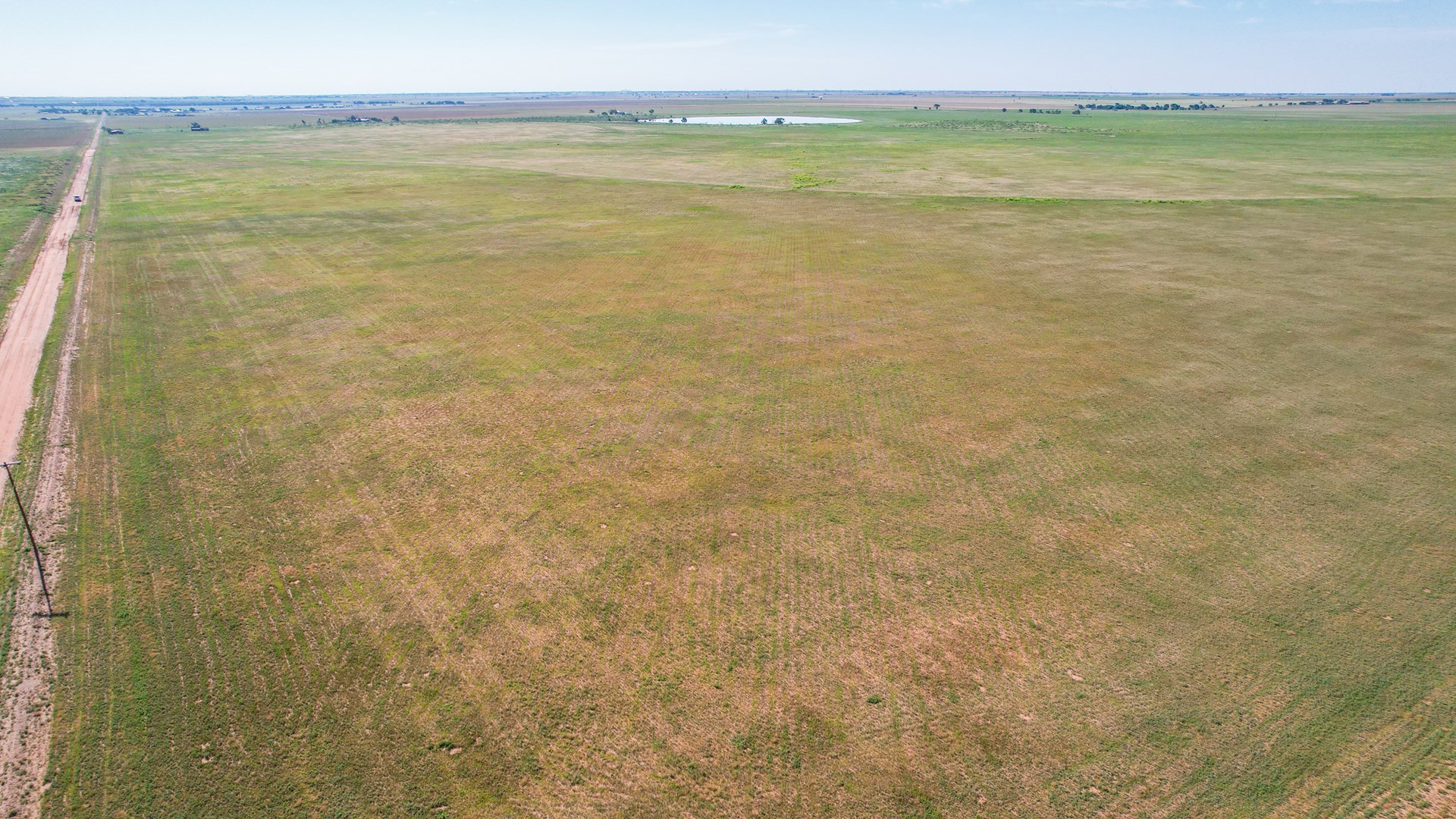
DESCRIPTION: Exciting investment opportunity being offered at Auction just 15 minutes from Lubbock. This 655.31+/- acre land tract is located on FM 2130 just 2.2 miles south of US Hwy 84 and is only 14 miles to Lubbock City Limits. This tract has 1 mile of paved frontage and county road access on all other boundaries. It is also only 8.5 miles on pavement to FM 179 in Shallowater and just over 10 miles south on 2153 to State Road 114 (19th Street). There is access to electricity on the east side and some overhead electricity on multiple boundaries of property. With great accessibility this land boasts mostly Acuff loam, Portales loam and Amarillo fine sandy loam which are soils that are well suited for irrigated and non-irrigated crops such as cotton, wheat, and milo as well as a variety of improved and native grasses. There is playa lake area on the Eastern side of the property that is designated as Flood Zone A which is comprised of mostly Ranco clay. There are multiple areas of Individual Homesite and Ranchette development in the immediate area. This property has a great location and some unique features that should make it stand out against most.
LEGAL DESCRIPTION: BEING all of Section 68, Block A, R.M. Thomson Survey, Hockley County, Texas, and being further described by metes and bounds as follows:
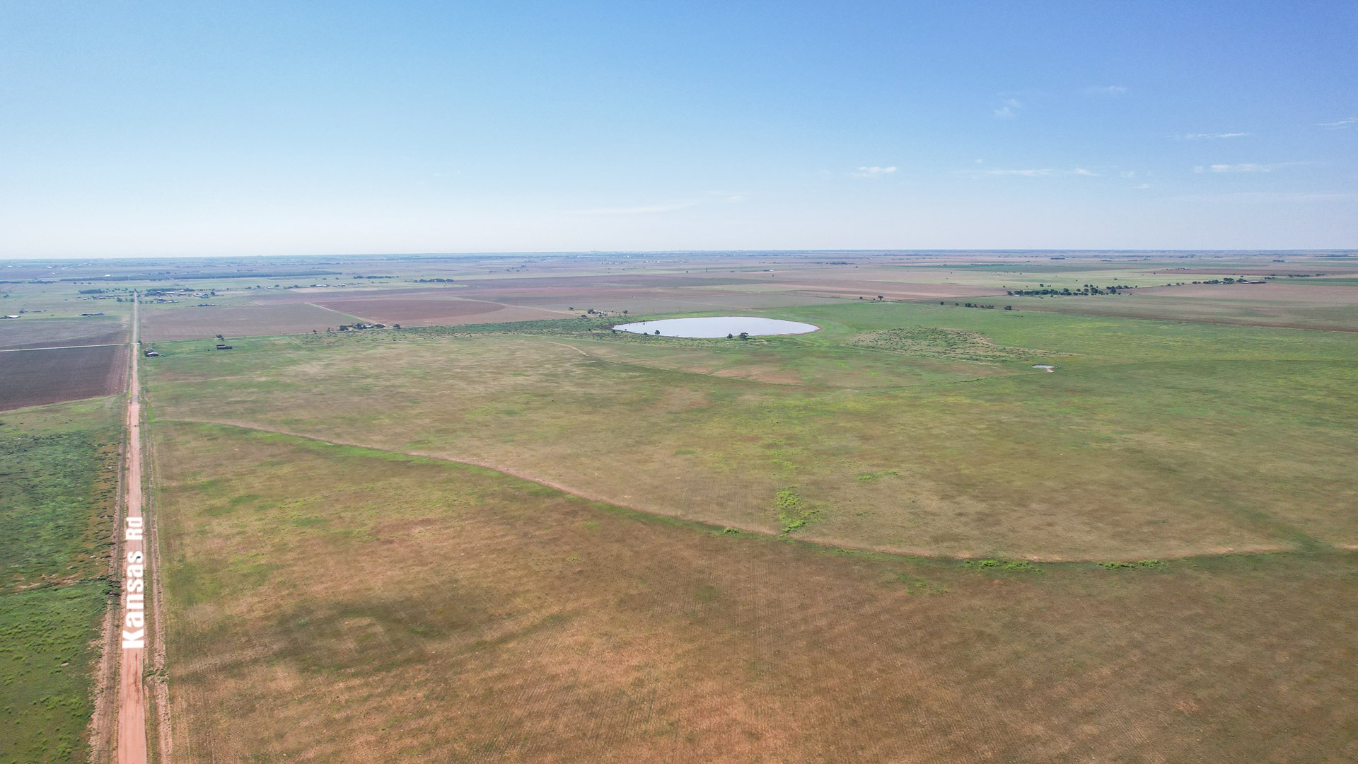
BEGINNING at a 80D Nail found in the intersection of Kansas Road and F.M. 2130 for the common corner of Sections 68, 71, 70, and 69;
THENCE South 2°36'55” West - 5403.01 feet along said FM 2130 to a Railroad Spike found for the common corner of Section 68, 69, 54, and 55;
THENCE North 87°23'50” West - 5282.08 feet to a 1/2 Inch Iron Rod with Cap set for the common corner of Section 68, 55, 56, and 67, from which a Railroad Spike found for the common corner of Sections 67, 56, 57, and 66 Bears,
North 87°23'50” West - 5280.16 feet and a 1/2 Inch Iron Rod found for the common corner of Sections 55, 52, 51, & 56 Bears, South 2°35'09” West - 5398.38 feet;
THENCE North 2°35'09” East - 5402.51 feet to a 1/2 Inch Iron Rod found for the common corner of Sections 68, 67, 72, & 71;
THENCE South 87°24'10” East - 5284.87 feet to the POINT OF BEGINNING and containing 655.31 acres of land, more or less.
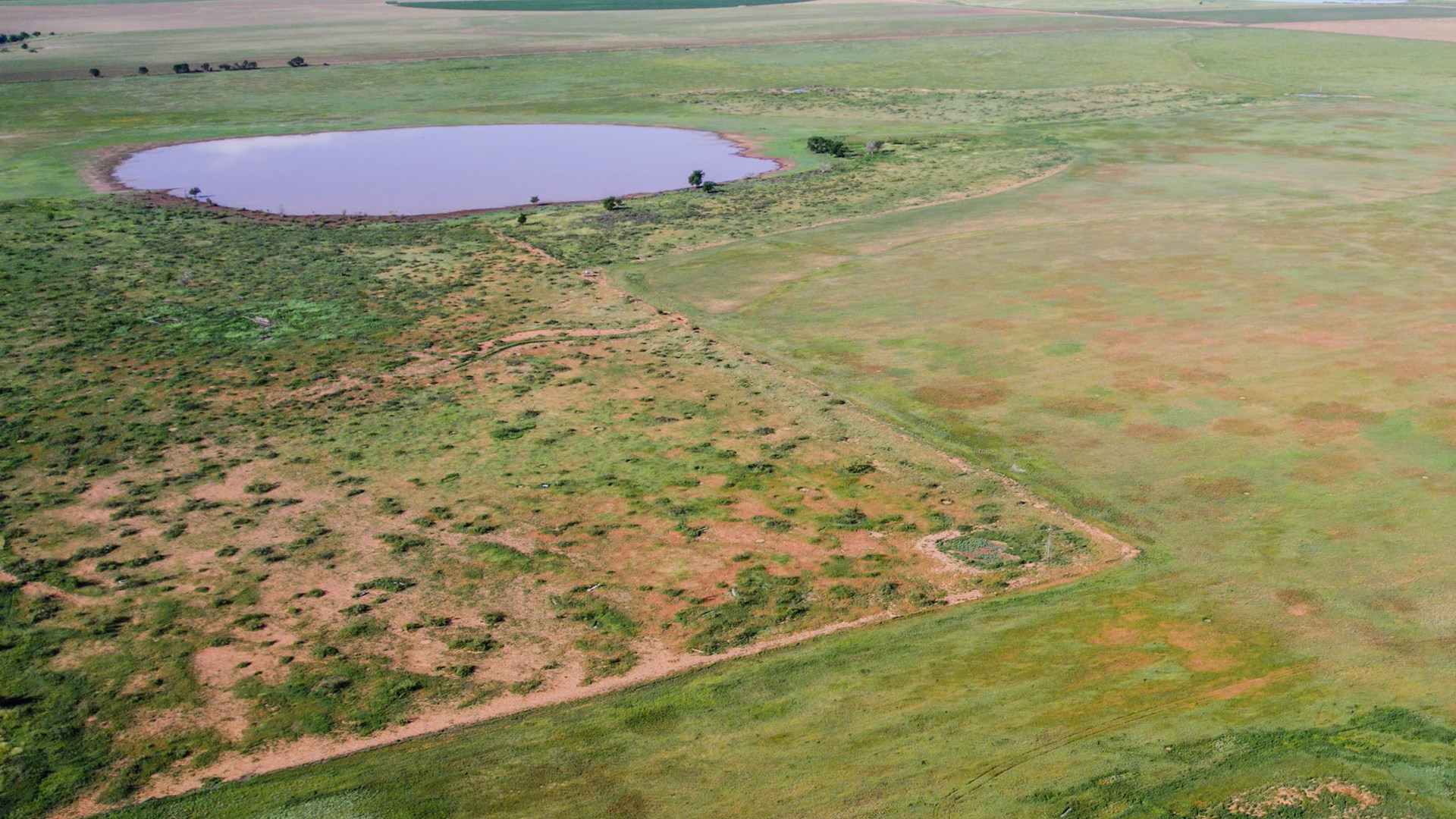
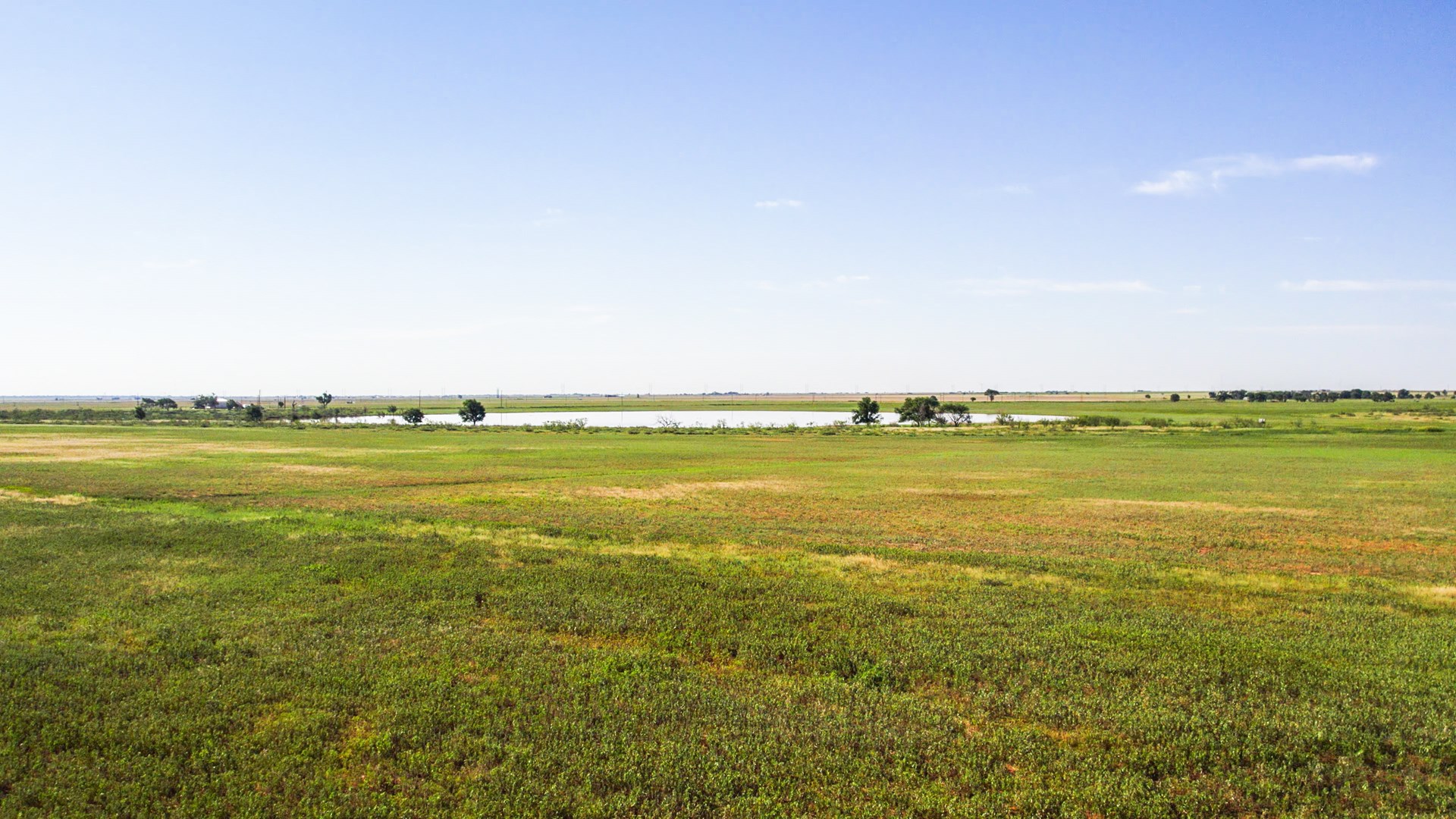
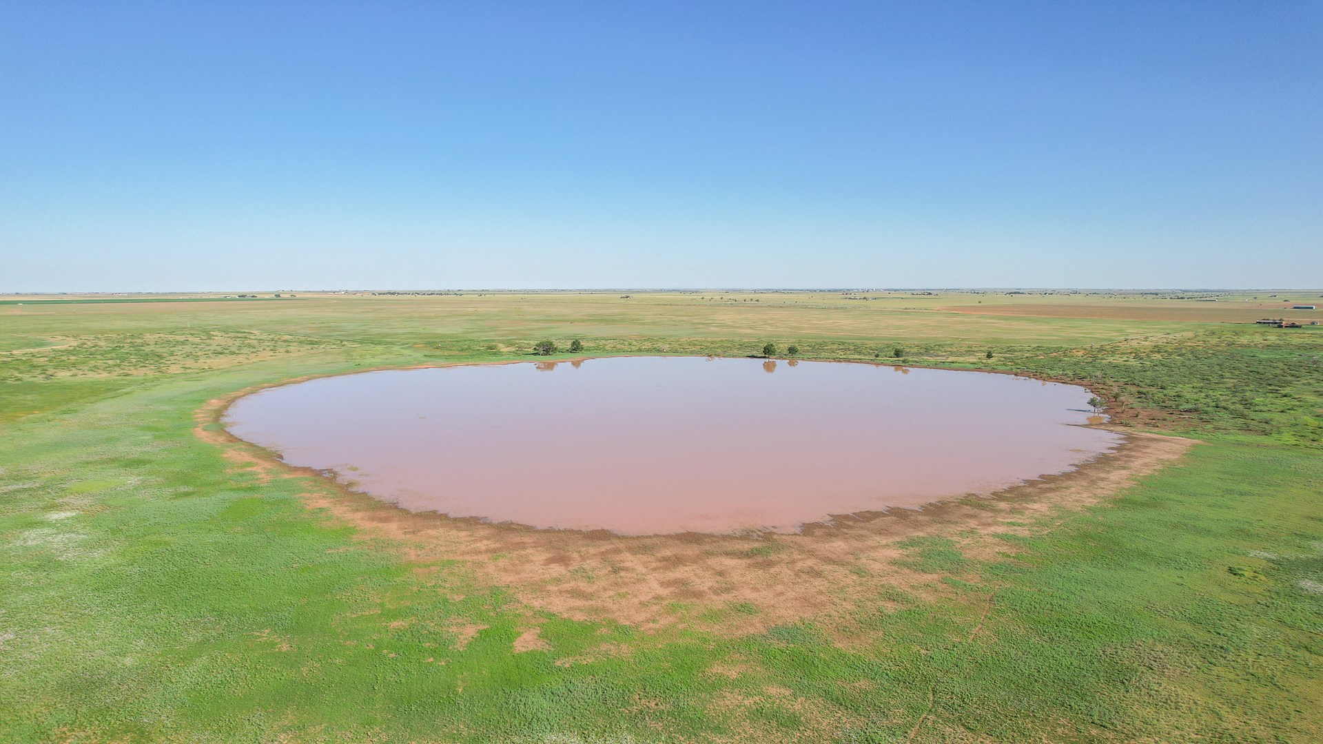
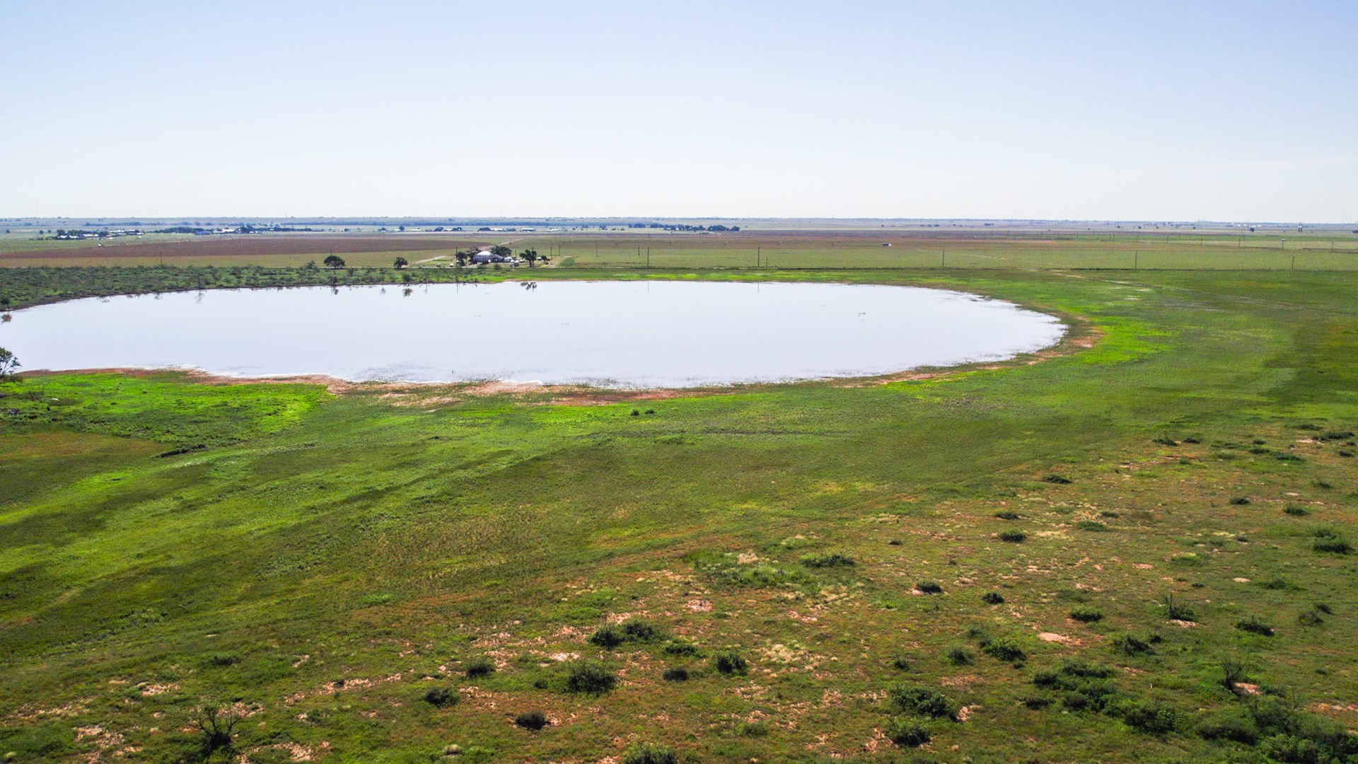
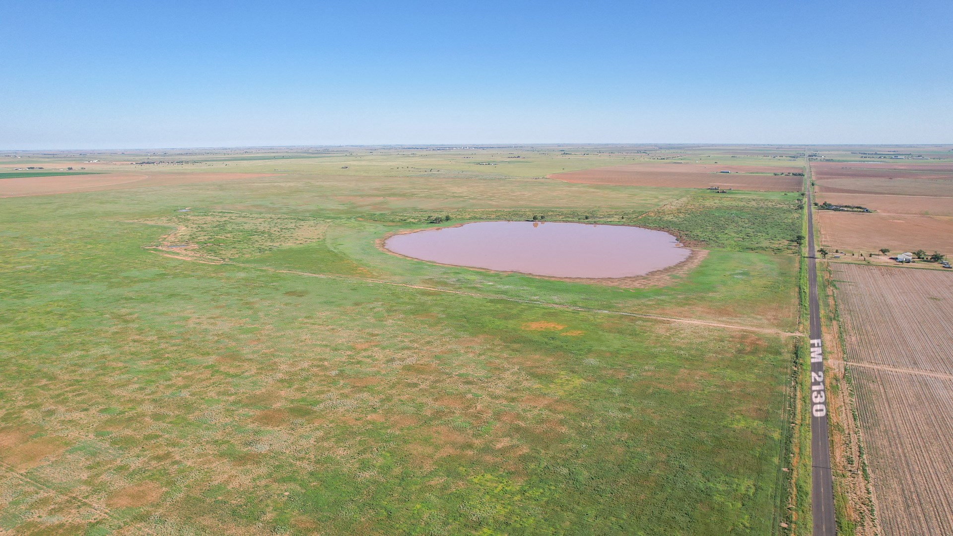
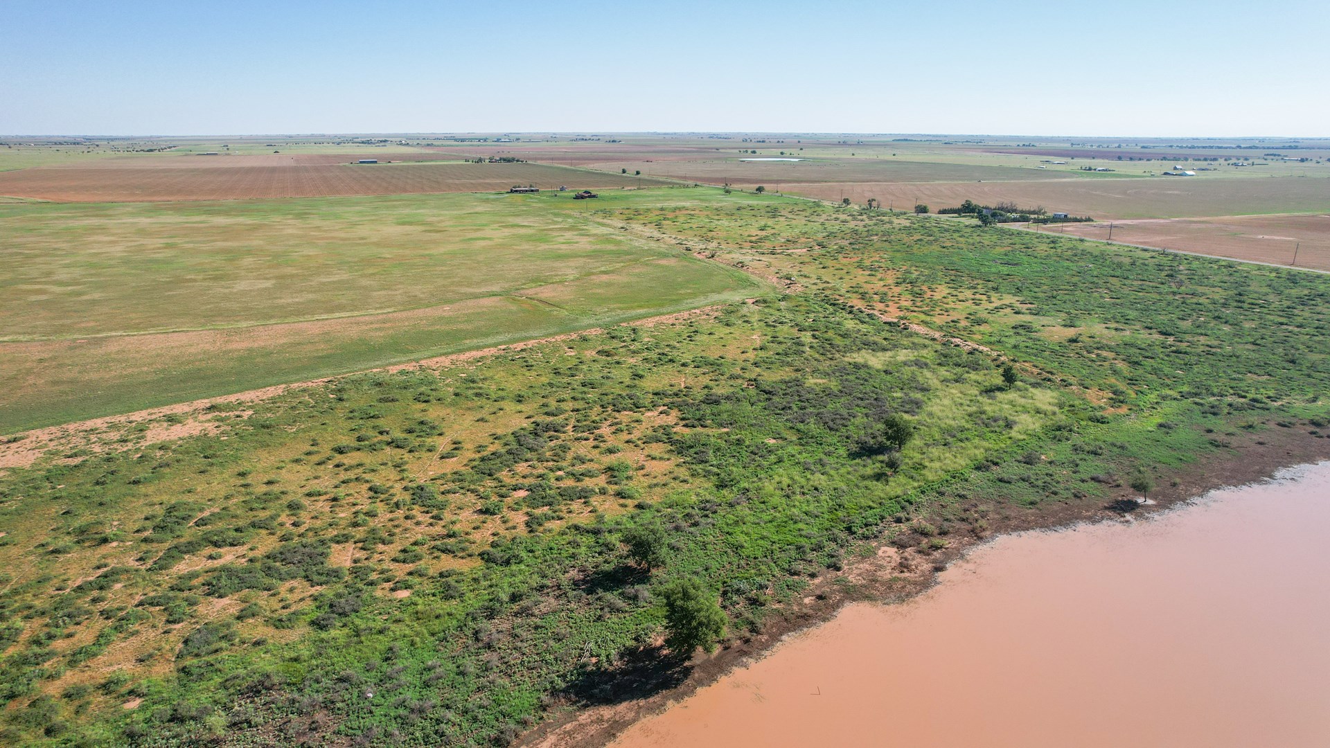
TOPOGRAPHY: The farm slopes gradually south-eastward and generally towards playa area located in the middle eastern area of the property. There is a portion of this area that is designated as Flood Zone A.
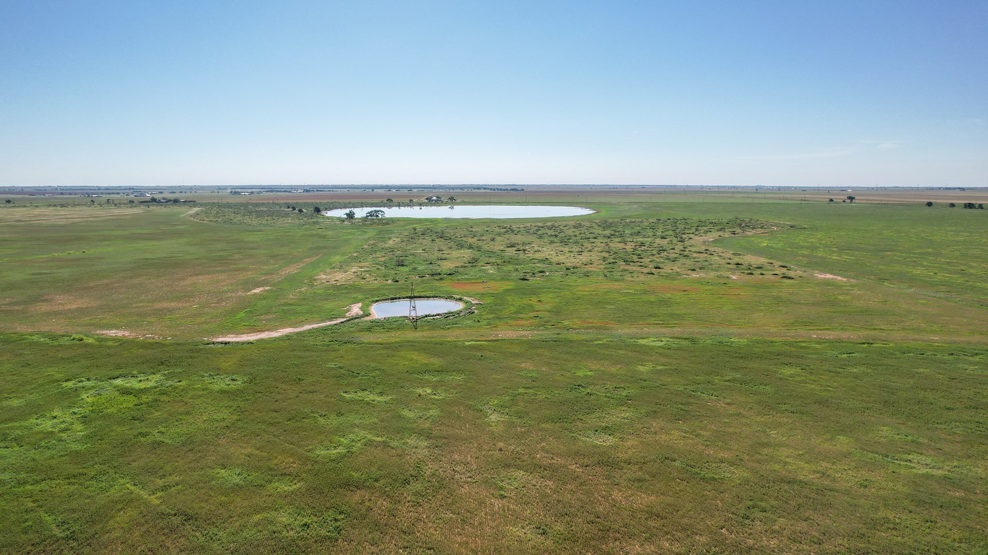
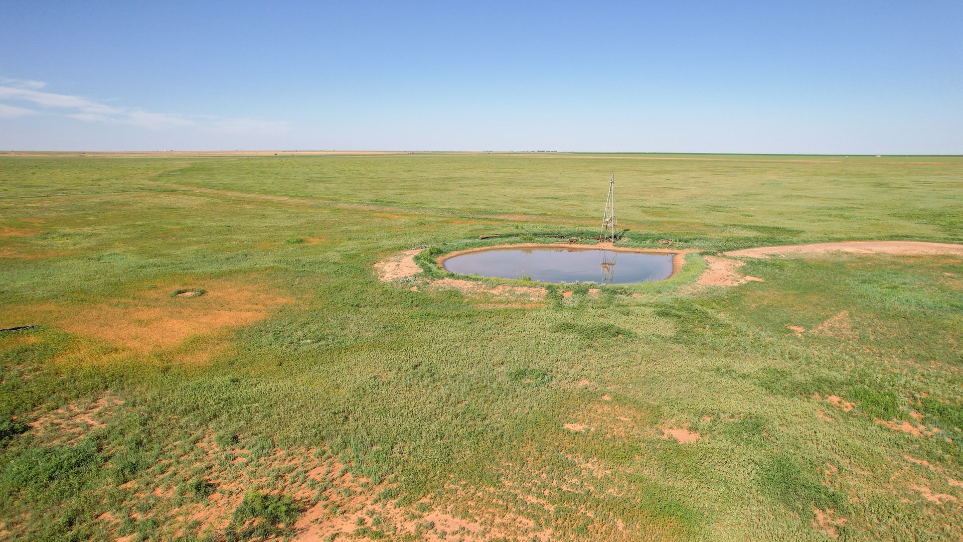
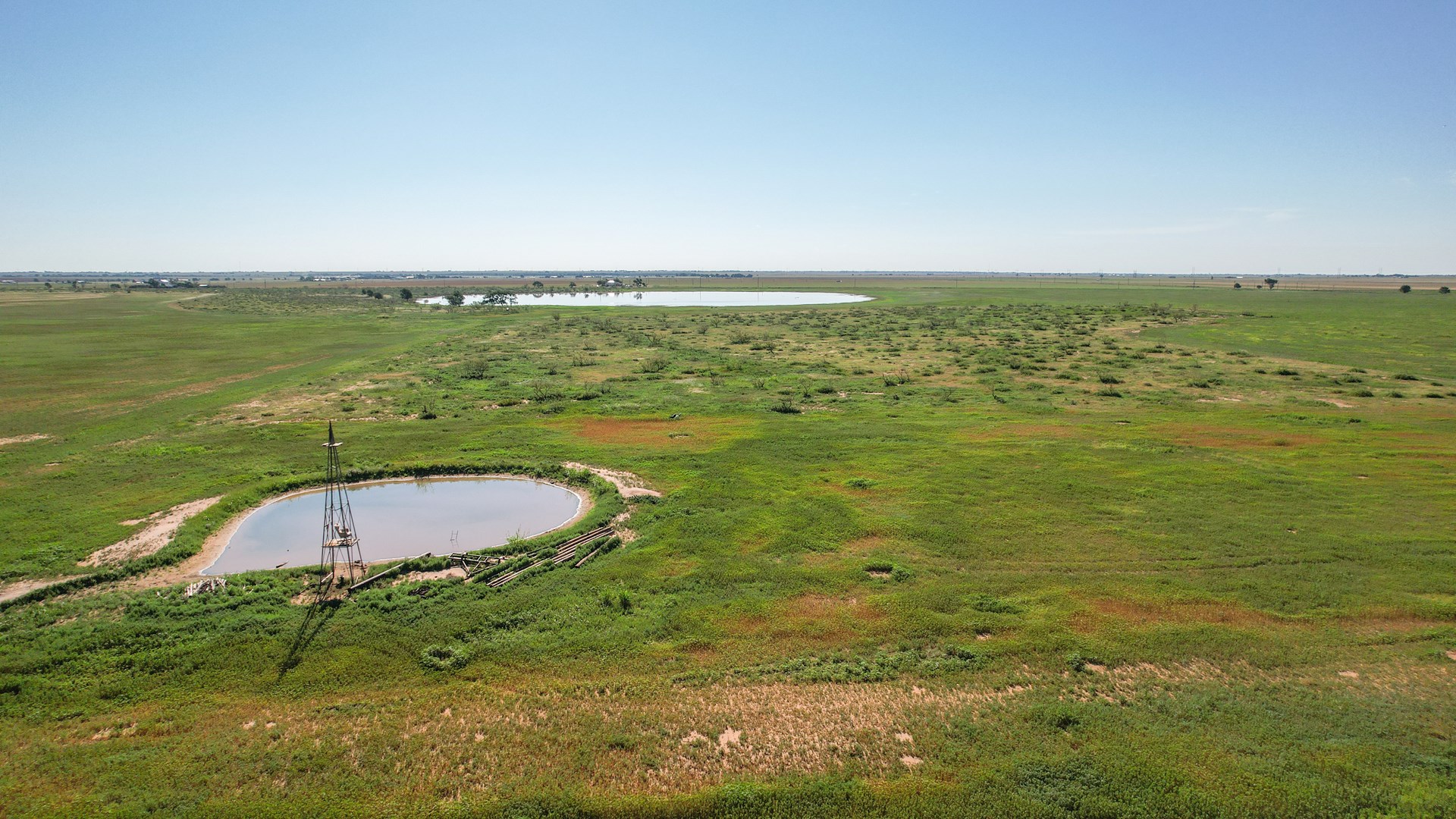
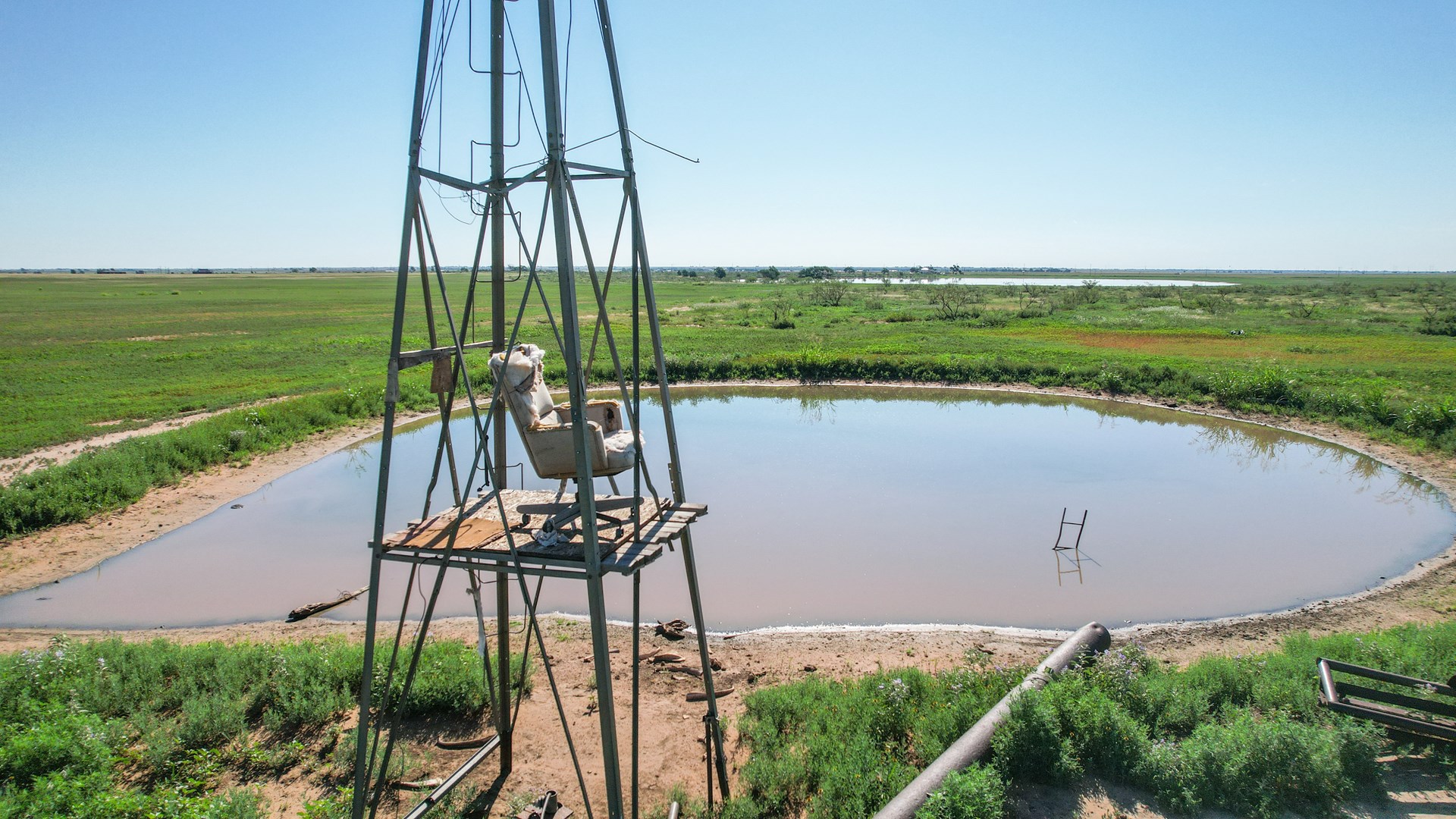
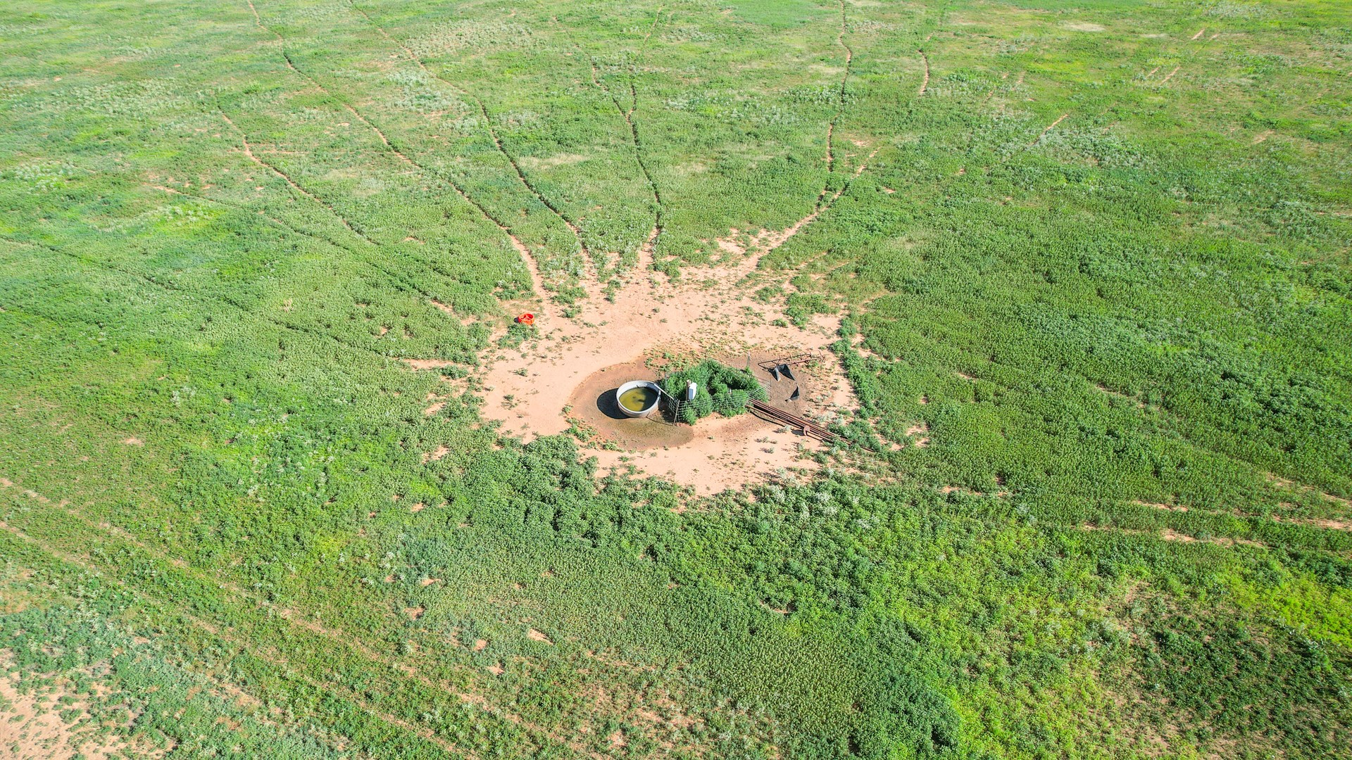
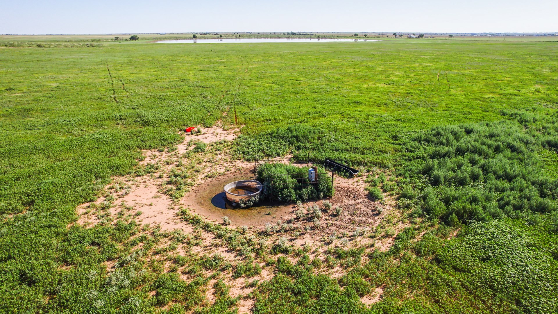
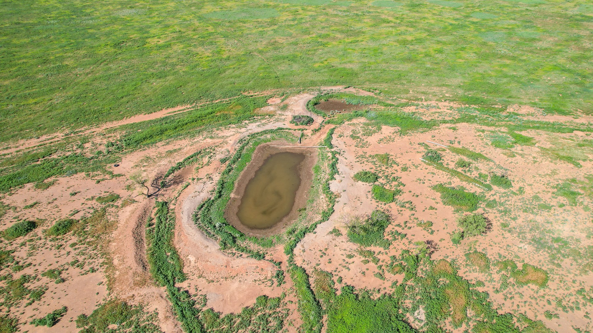
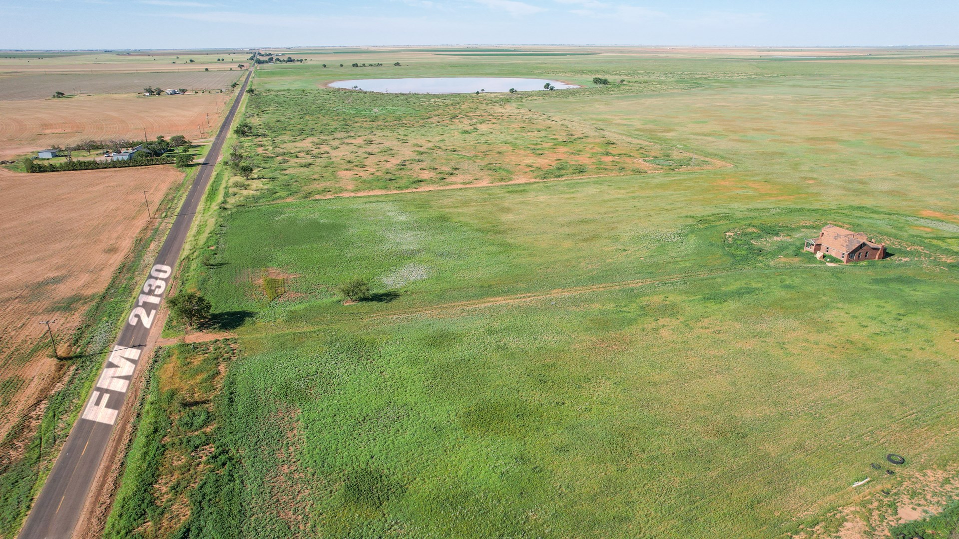
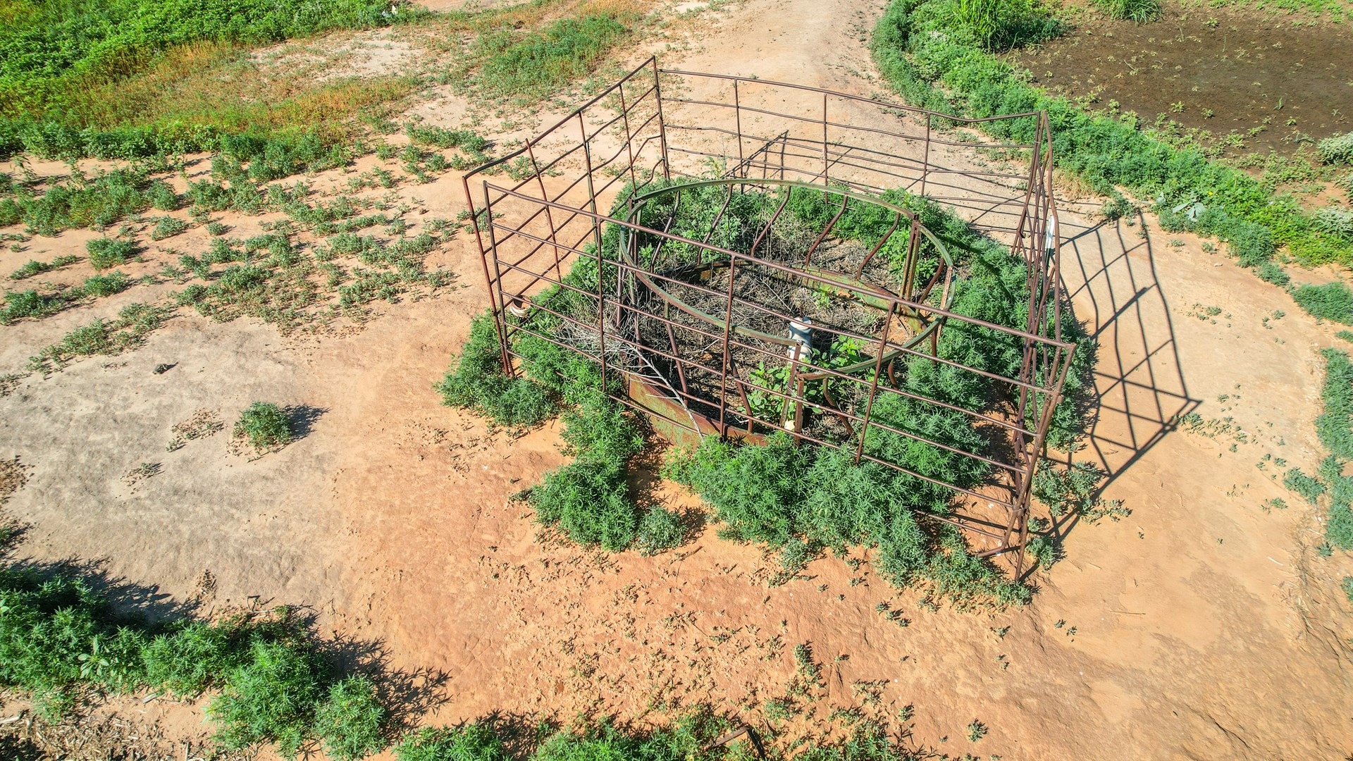
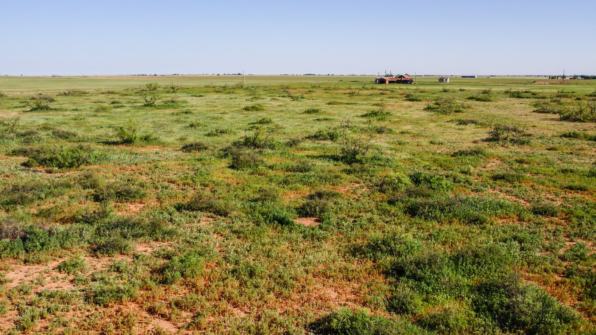
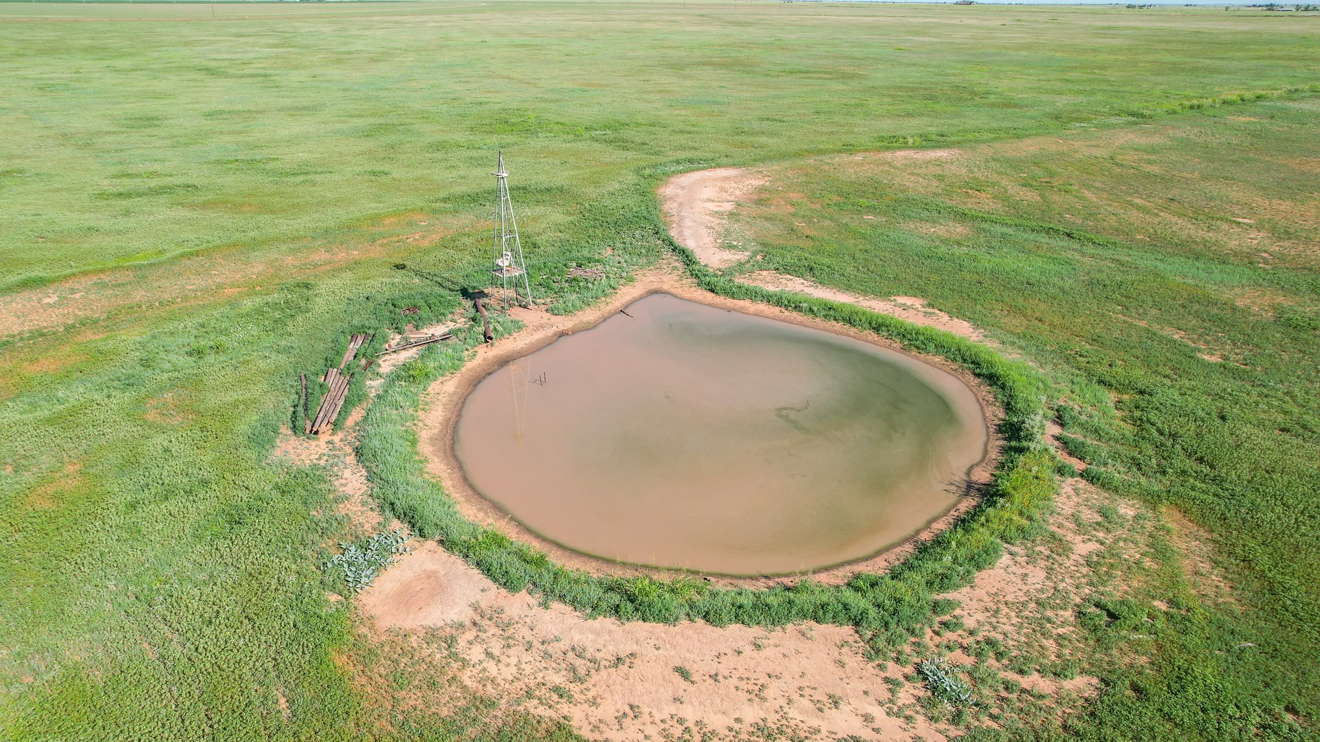
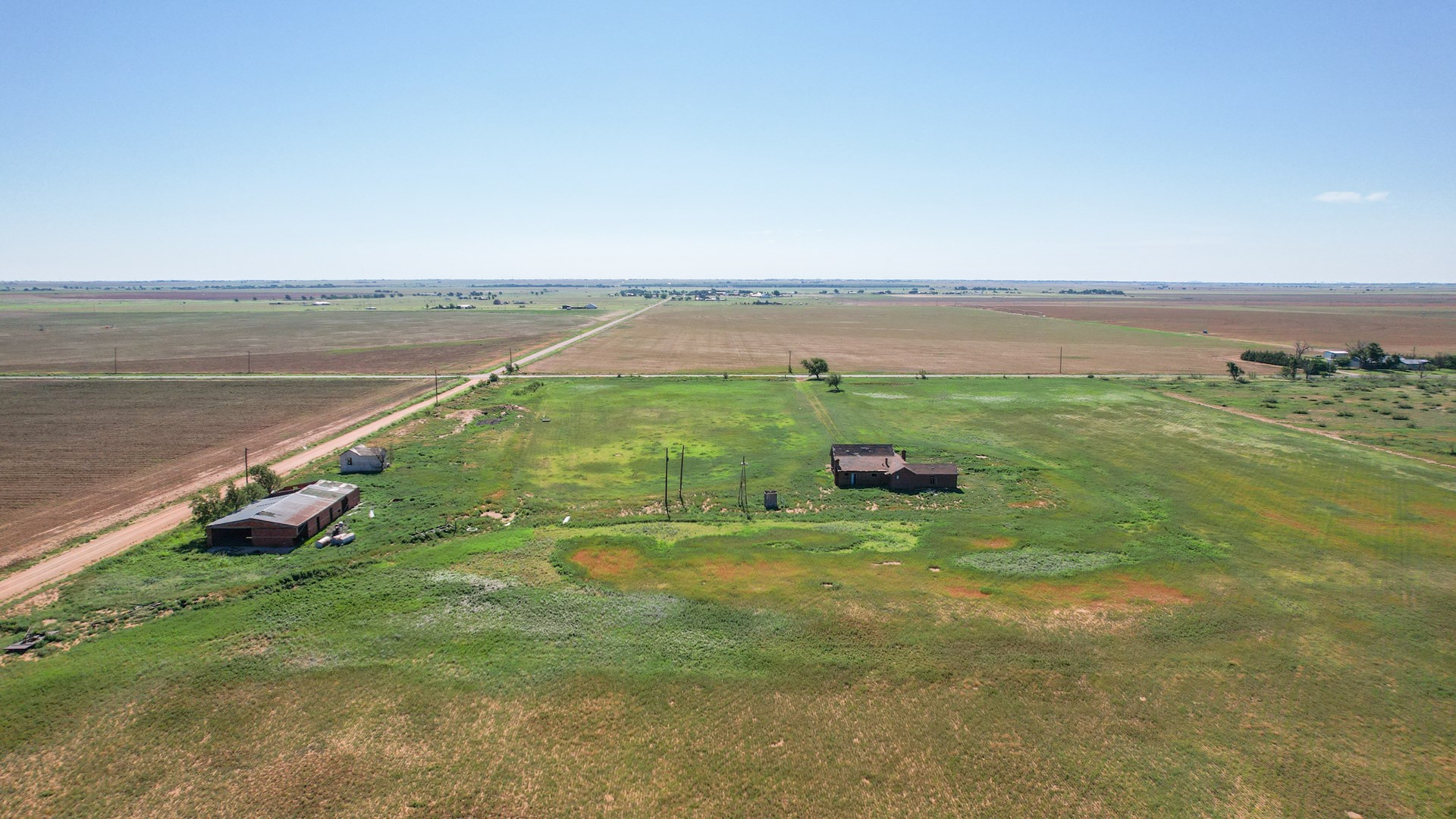
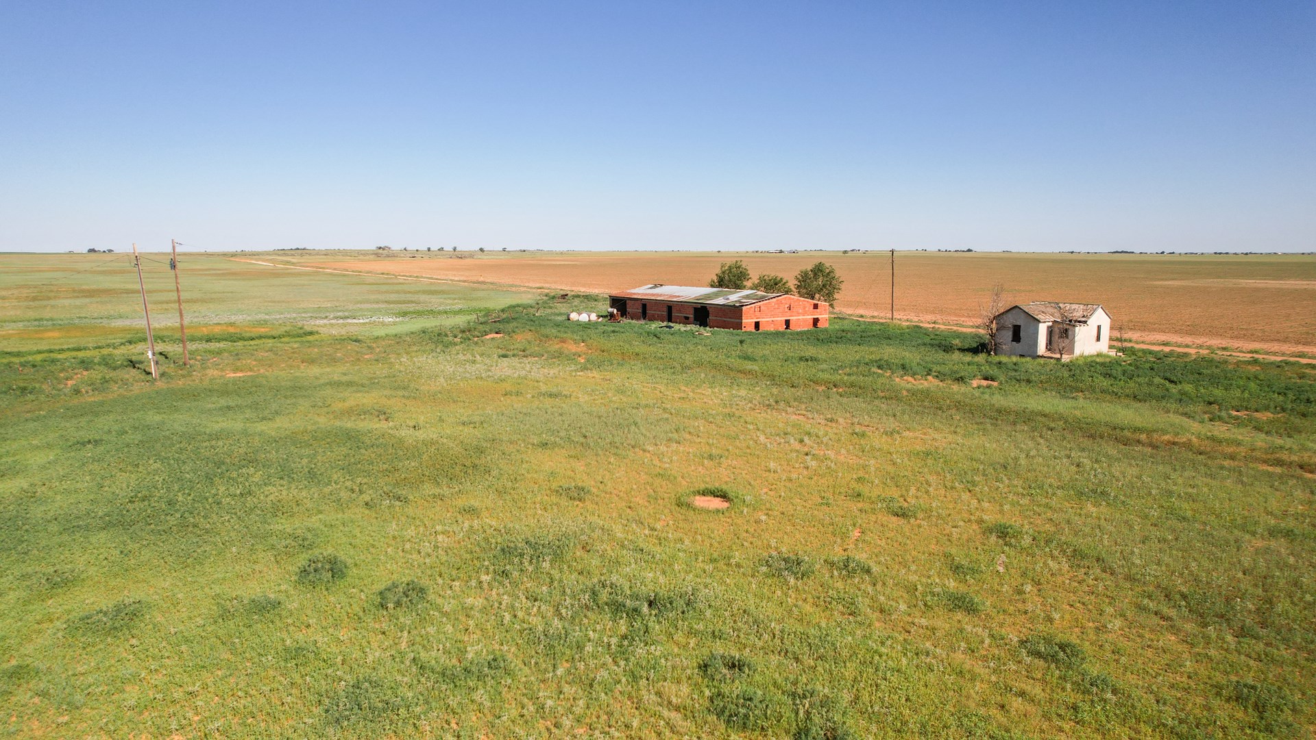
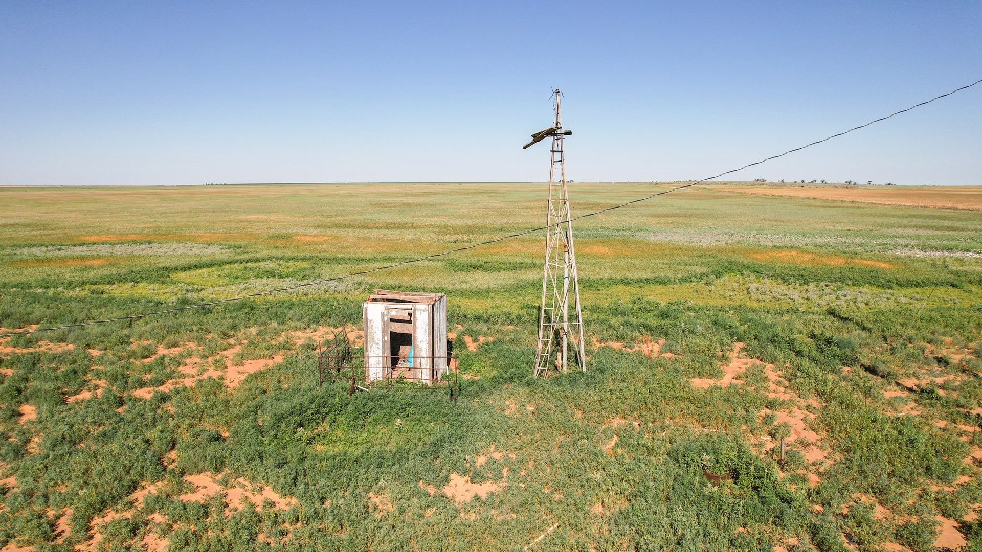
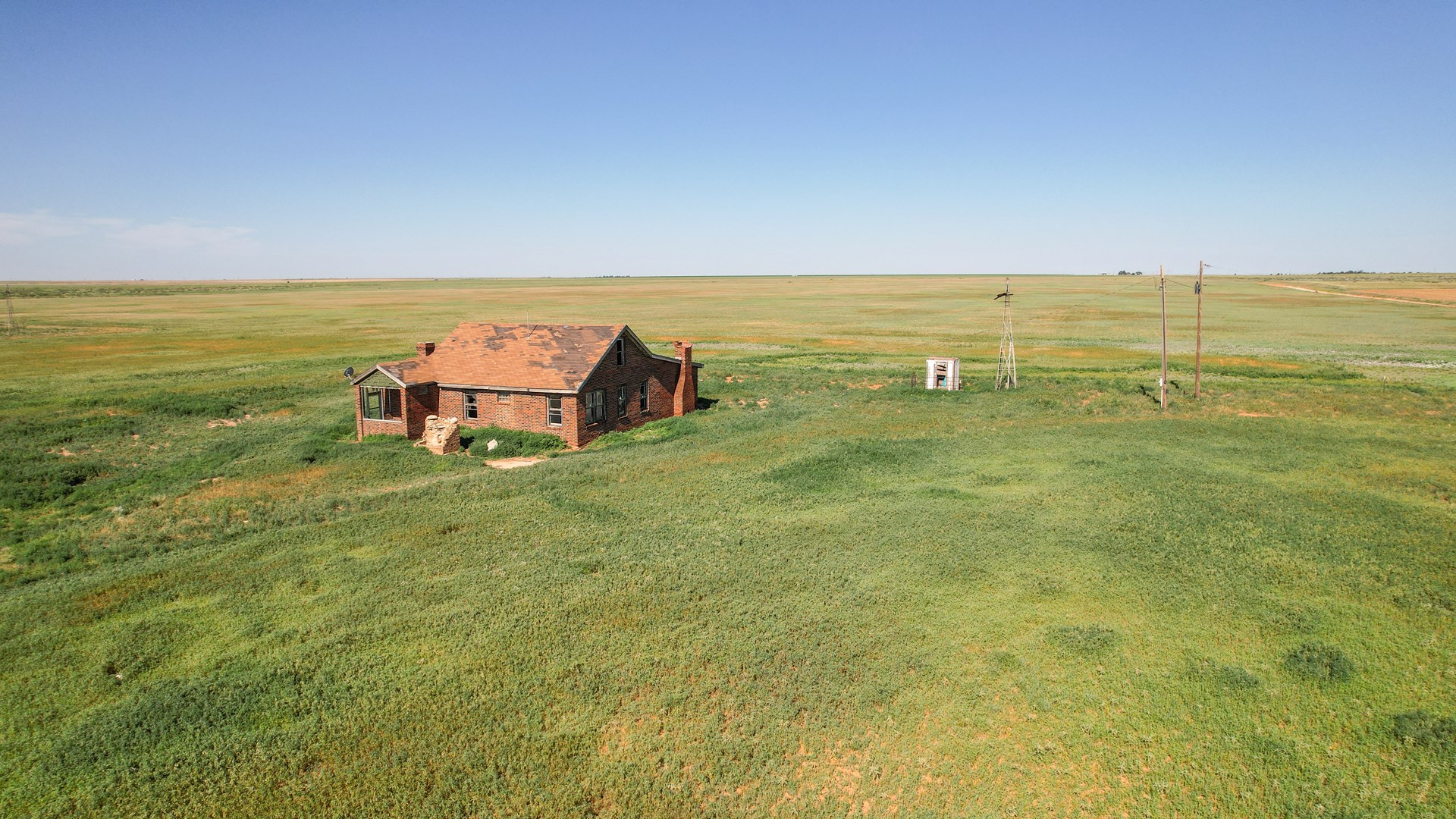
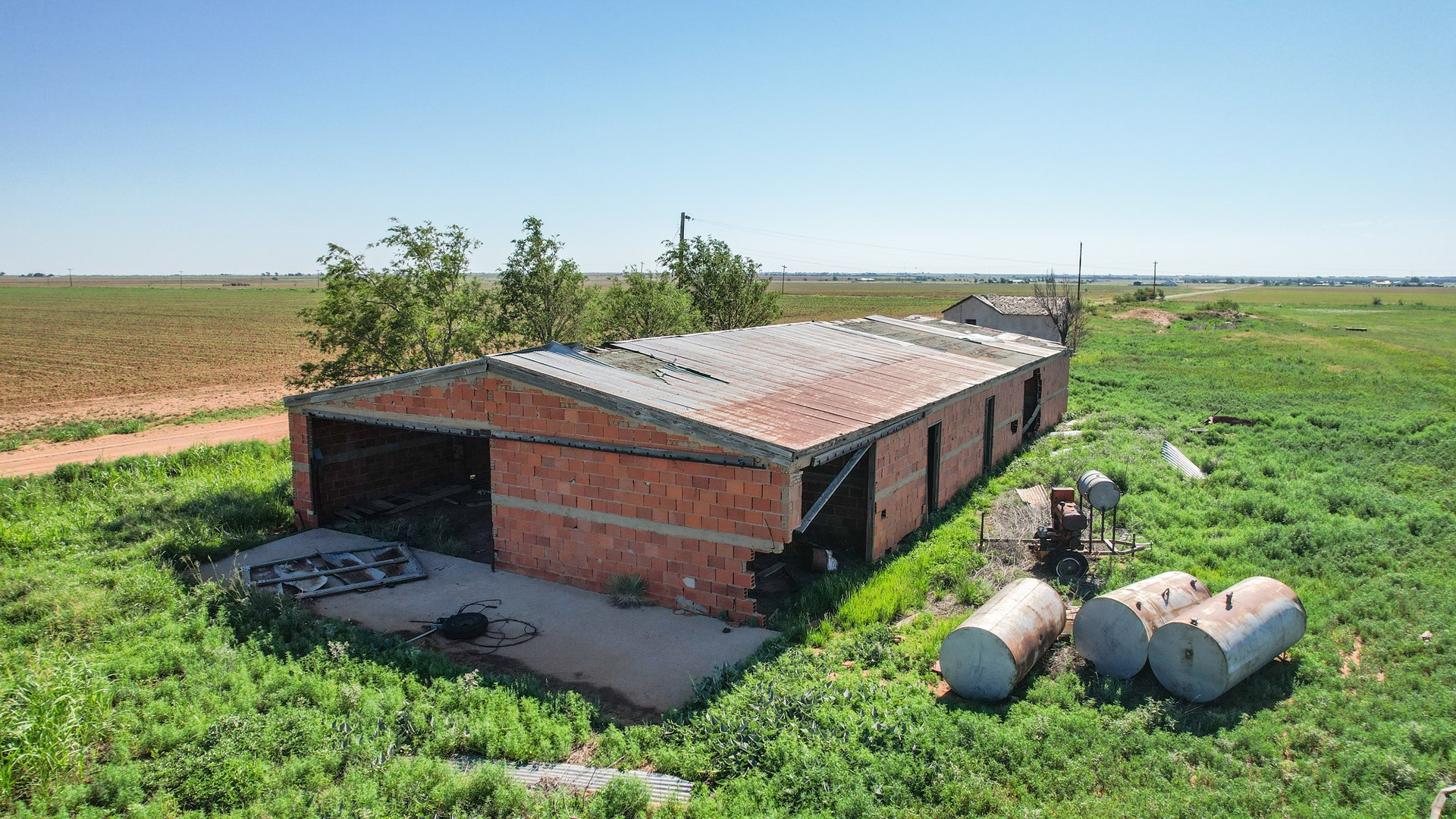
IMPROVEMENTS: There is an old homestead on the farm that is not in livable condition, along with a couple of other dilapidated structures including an old barn. There was at one time a residential well and windmill located close to the home. The current owners are unsure of the viability of either of those currently. There are also 3 additional wells used to water cattle by current tenant and another old windmill site (not in use) The wells pumps, pipe, panels and wire were set up by tenant and will most likely be removed by the tenant at the end of the lease period. One of the current wells has an underground line that feeds two existing earthen tanks. Any personal property located on the farm is the property of the current tenant and will not be offered in the auction.
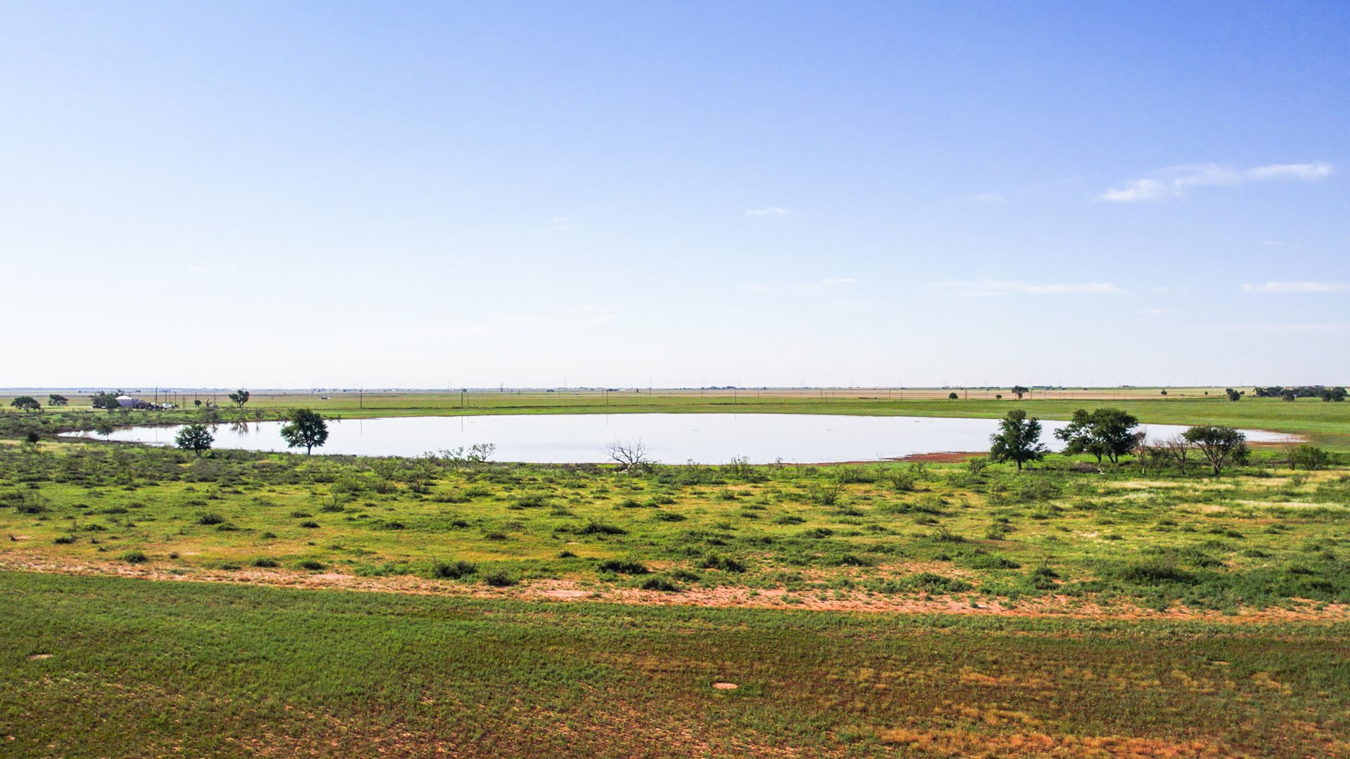
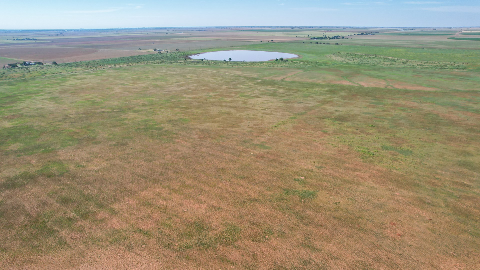
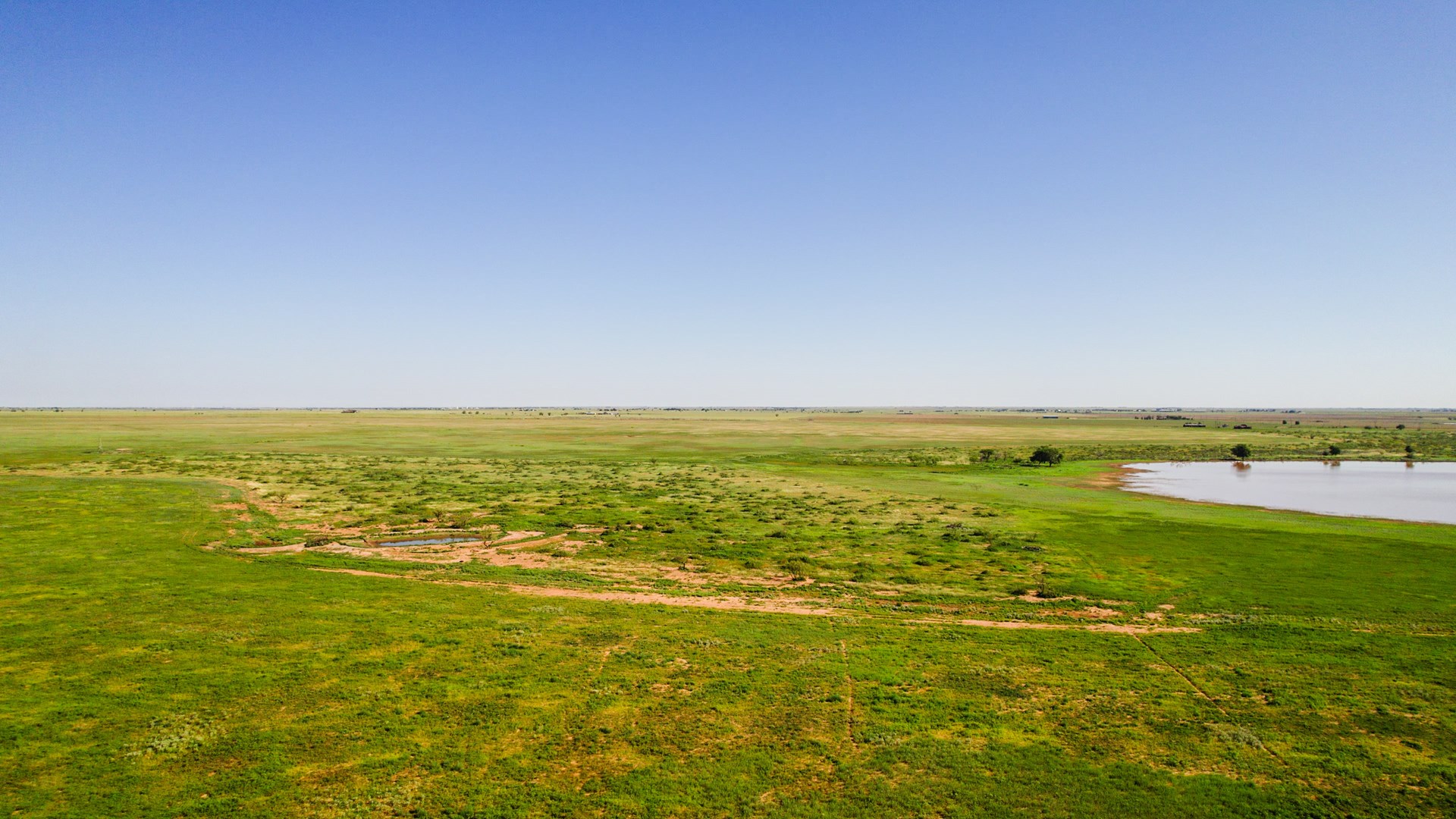
WATER FEATURES: There is a significant Playa Lake located on the property that is designated as a Flood Zone A, which also serves as a natural resource area for wildlife and has a few large trees around its border. There are also two earthen tanks that are used to water cattle but are also used by wildlife.
FENCING: There is no fencing on the property other than temporary hot wire fencing that is owned by the tenant.
WILDLIFE, HUNTING AND RECREATION: This land is located in area that has quail, dove and occasional mule deer hunting in wet seasons when there is good cover and vegetation around playa areas and remainder is planted to wheat, could be further developed into recreational area with different land practices. Current owners have deer hunted the land in the past.
SOIL: Soils on Farm are predominantly classified as Acuff loam, Portales loam and Amarillo fine sandy loam with some Ranco clay in playa lake area in middle eastern area of the farm.
USDA INFO: The farm is currently enrolled in the USDA Farm program and FSA-156EZ is included in Property Information Packet. The FSA-156EZ indicates there is base acres for seed cotton, wheat, and grain sorghum.
TAXES: $1884.18 from 2022 w/exemptions
LEASES: Subject to the existing agricultural leases, as follows: Surface Livestock and Agricultural Lease to Barry Altman and Diane Altman Joint Venture, through December 31, 2023.
TITLE RESERVATIONS: Seller warrants that this Property will sell without Title reservations related to wind, mineral, or solar.
FURTHER REPRESENTATIONS: There was a small pit dug at one time on property for household trash, there is a Flood Zone A located on the property.
COMMENTS: For more information or to schedule a showing of this property contact Monty Edwards at 806-786-5426.
Property Features
- 655.31 +/- Acres
- Online-Only Auction
- 15 Minutes From Lubbock
- Paved Frontage
- Investment Opportunity
- Access To Electricity
- Occasional Mule Deer Hunting
- Playa Lake Area
- Farms for Sale
- Land for Sale
- Ranches
- Recreational Property
- Hunting
- Investment & Income
- Call Monty (806) 686-6371